The search for the Roque Nublo: part 1
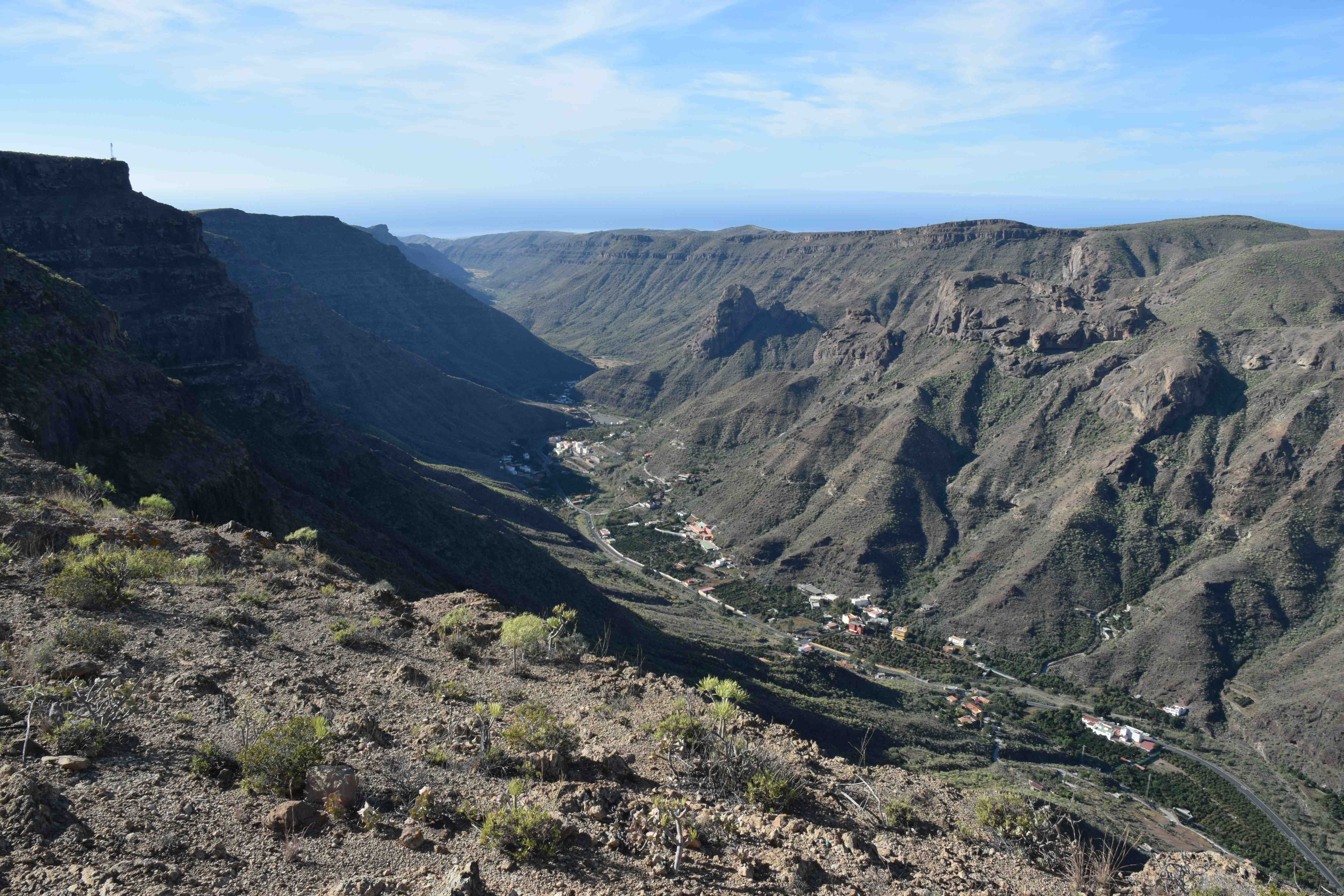
The Roque Nublo is one of the most iconic sights (and sites) in Gran Canaria: it is the equivalent of Teide on Tenerife in some ways. Situated more or less in the centre of the island ( a bit to the west) it is not quite the highest point on the island (at 1813m above sea level), that is a peak to the east that supports a series of observatories at 1949m, but with its precariously perched 80m high rock, it is a special spot and quite accessible. But first you have to get near it. And setting off from the south west of the island there are several possible routes to get to the centre of the island, up one of the barrancos, the fissures that cut into the island, dividing it into segments separated by high ridges, that make circular movement around the island slow (apart from the new motorway to the east, north and south near the coast).
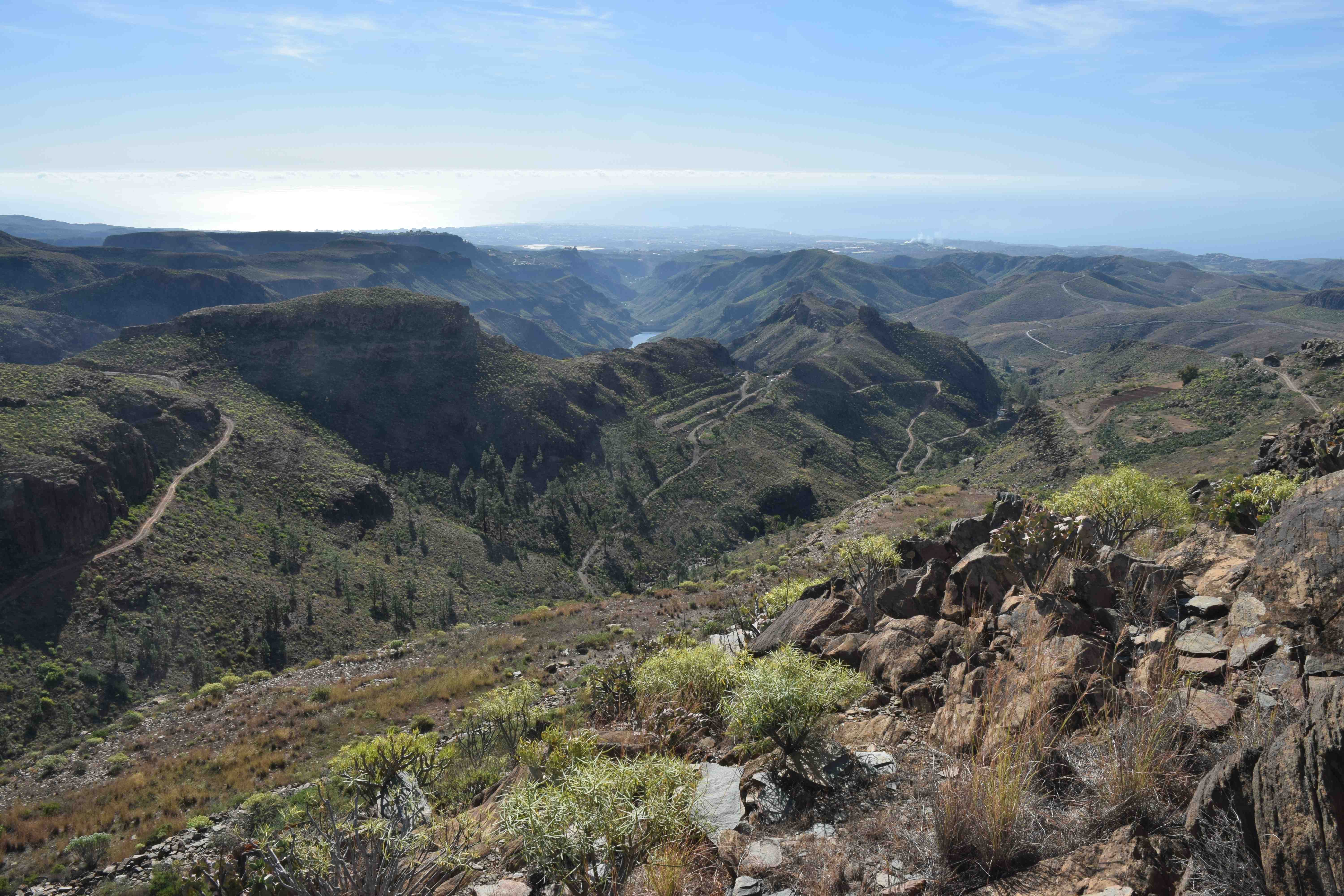
But my ideas do not always go to plan. I planned to head north up the GC604 to the east of the GC505, a pleasant, valley bottom road (you can see the valley in the photo above) that drifts into the unpleasant Arguineguin on the south coast. The GC604 looked, on the map, as though it would be the ideal route, and one I had not taken before, but things did not quite work out as expected.
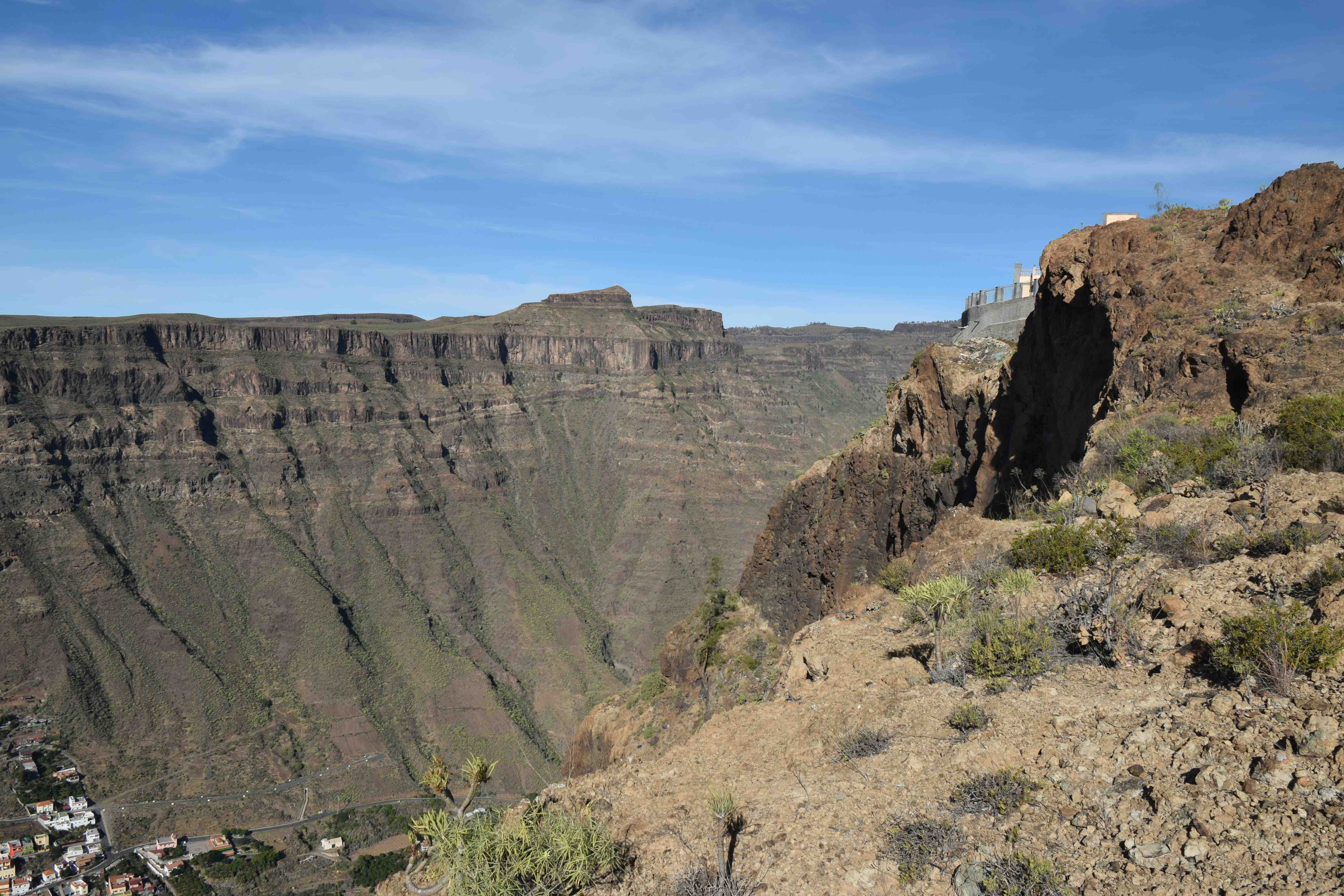
The road was certainly dramatic and at one point was very narrow and a lone house perched over this amazing view.
But soon after this narrow road, that clung to first one and then the other side of the ridge, things went wrong.
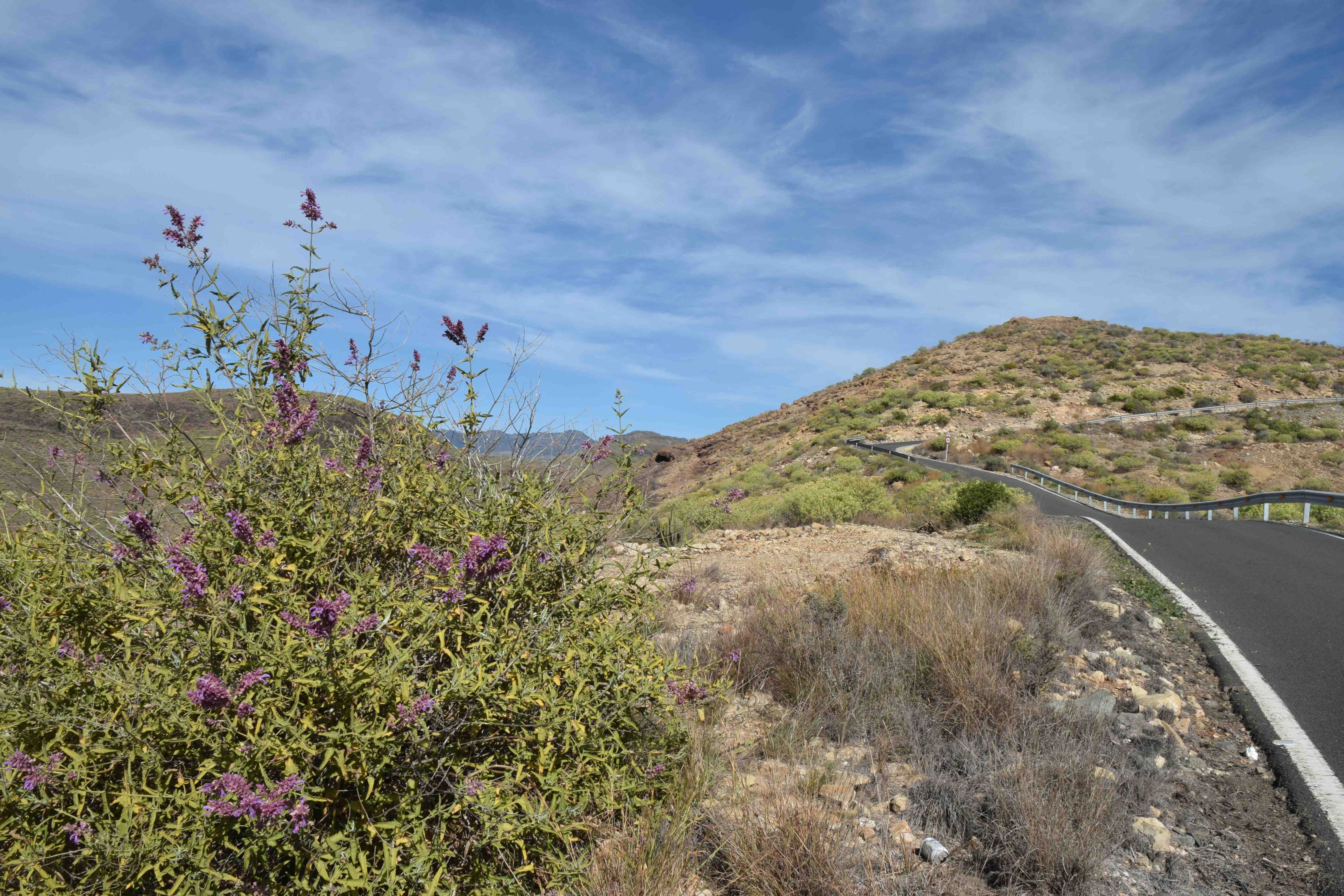
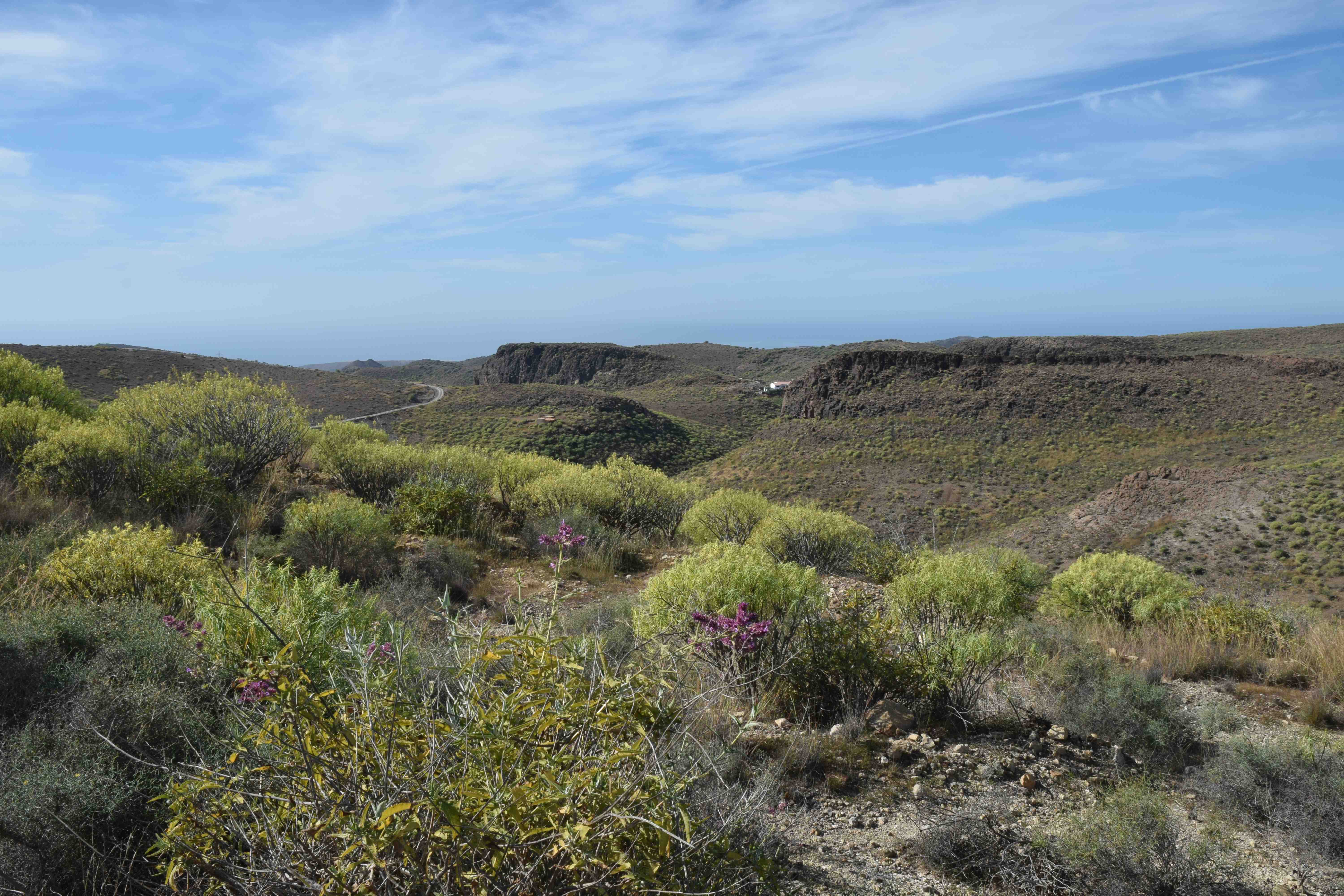
The road got steeper and there was signs of some forms of ‘growing’ behind walls and what seemed to be the remains of some sort of residence. But then the road ended.
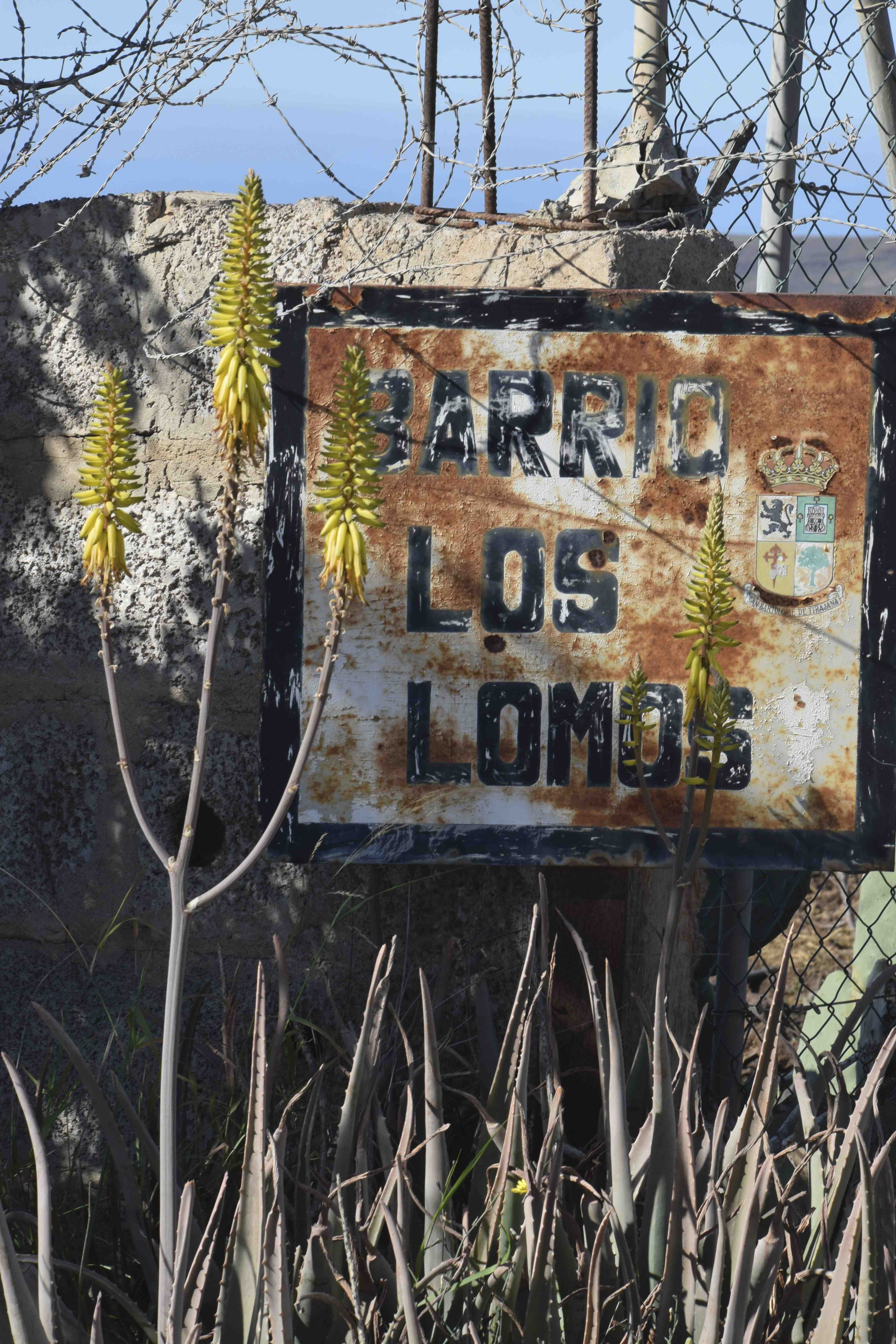
The thin strip of tarmac became stones. According to the map this was a road! There were other puzzled drivers too and some had set off across the wasteland to a vantage point to see if there was a road beyond. But it would be a brave driver that tackled the route. But it did give me time to look around and chat with the other tourists including a lovely German couple who I was able to help identify some plants.
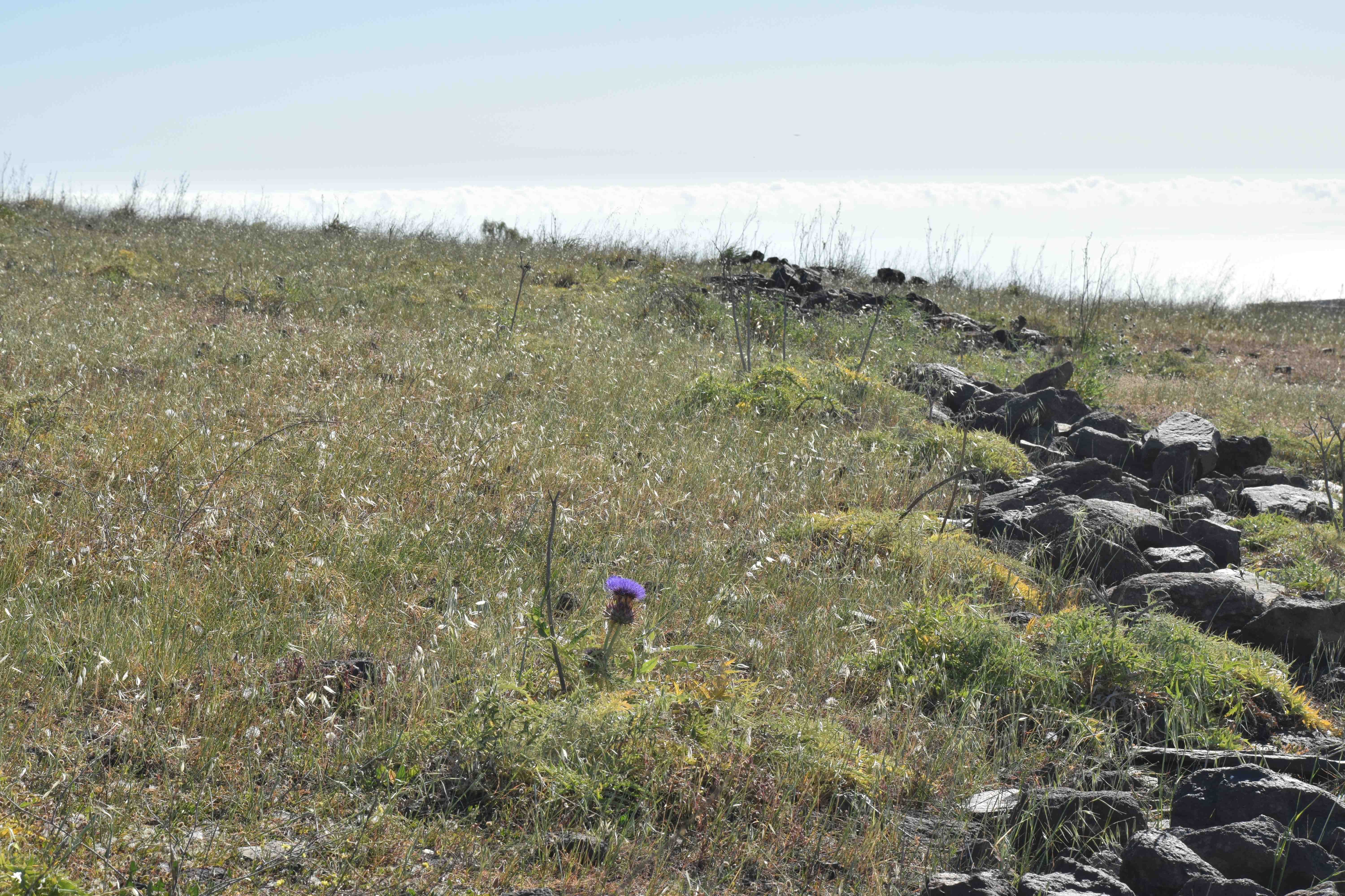
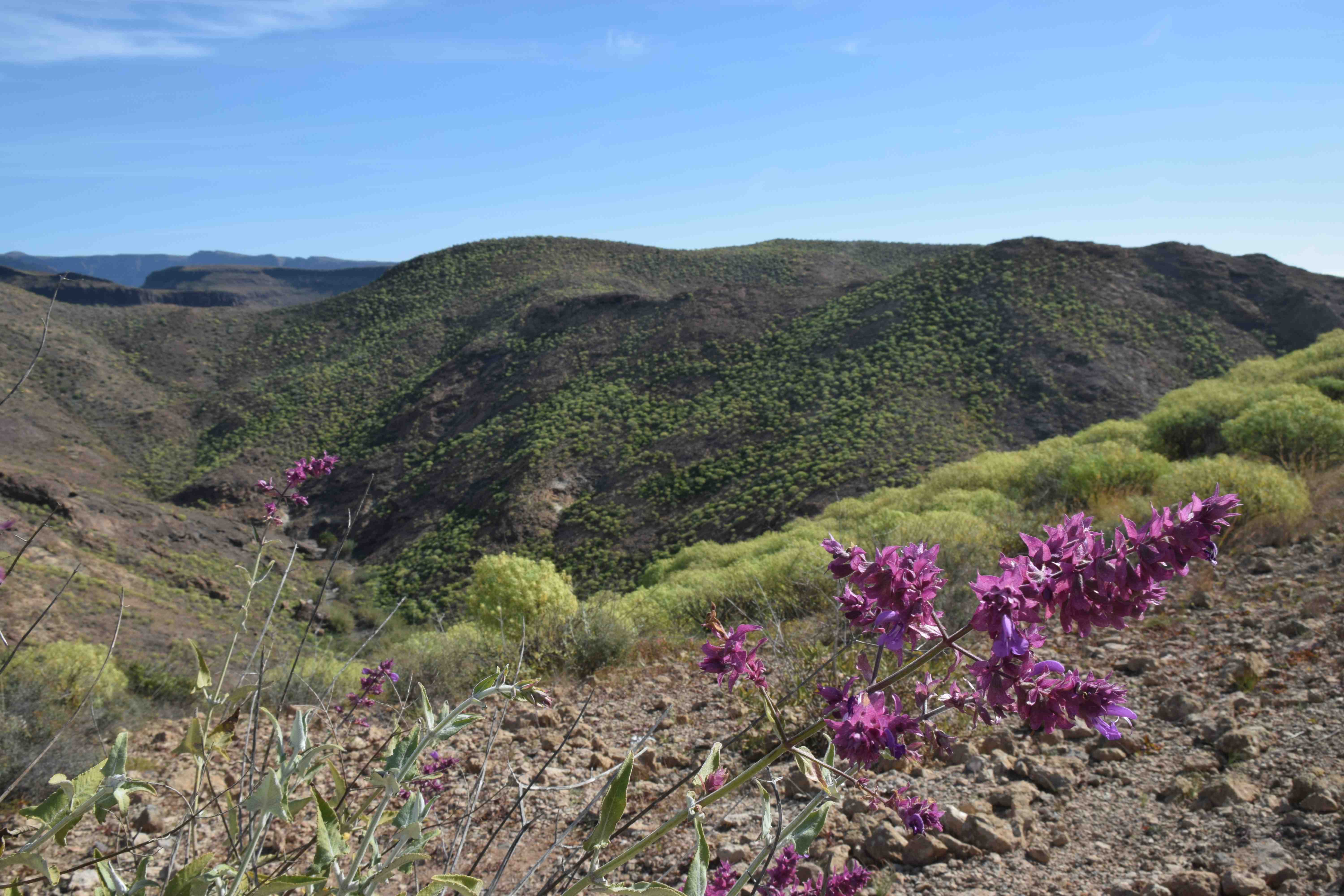
What was extraordinary was that the fields beside the ‘road’ were obviously abandoned at the moment but had been cultivated at some time recently judging by the rows of rocks and stones in rows and the ‘relatively’ good soil between. But cultivation here must be very, very tough!
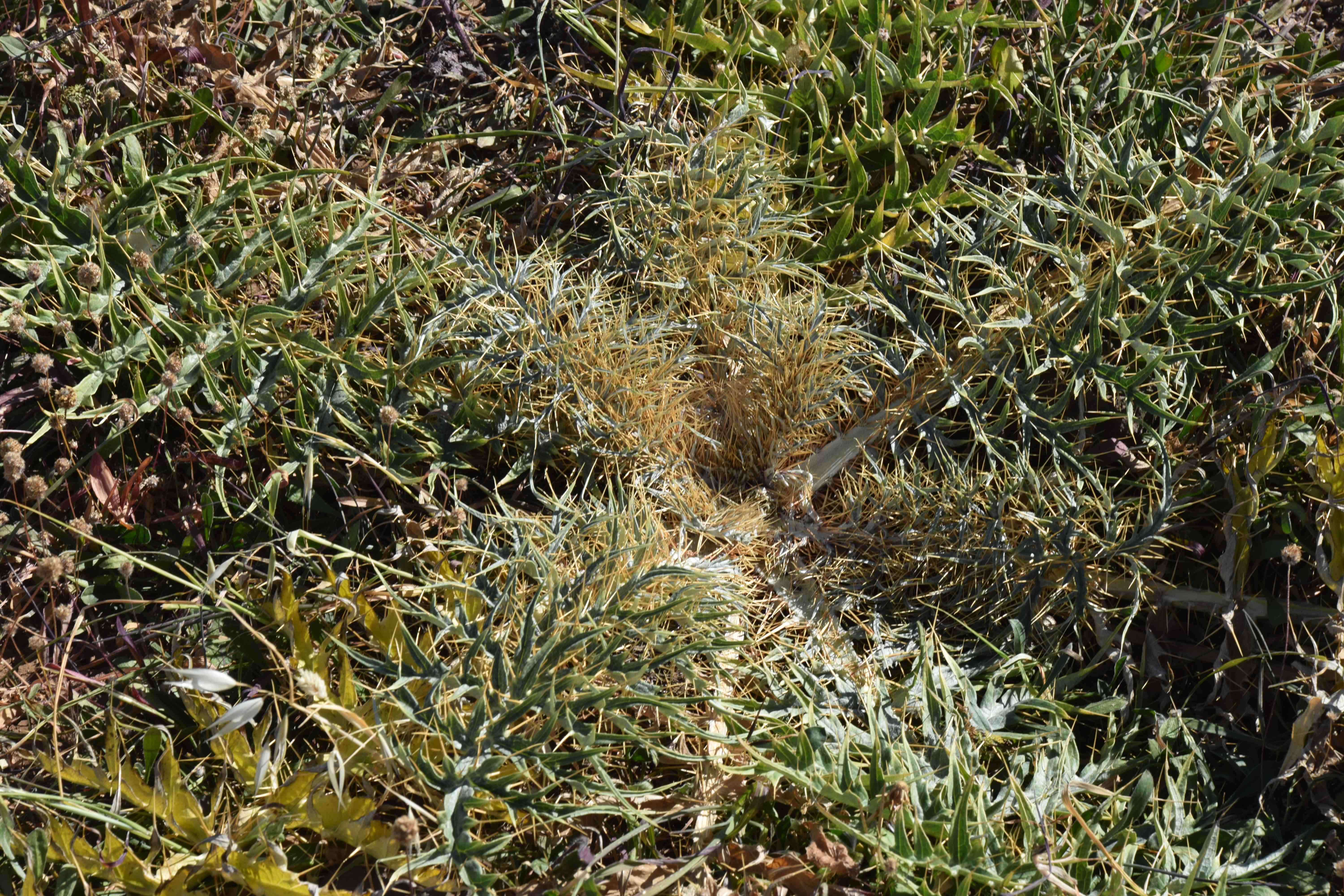
It was here that I had time to identify a plant I had seen several times but was unsure of because I had not seen it in bloom. But here I could see that the viciously spiny rosettes were actually not a thistle but an artichoke and I am fairly sure it is Cynara humilis. Well I was yesterday when I wrote this but, having done more research, it might be Cynara cardunculus var. ferocissima which seems a much more appropriate name than Cynara humilis which just means ‘small’!
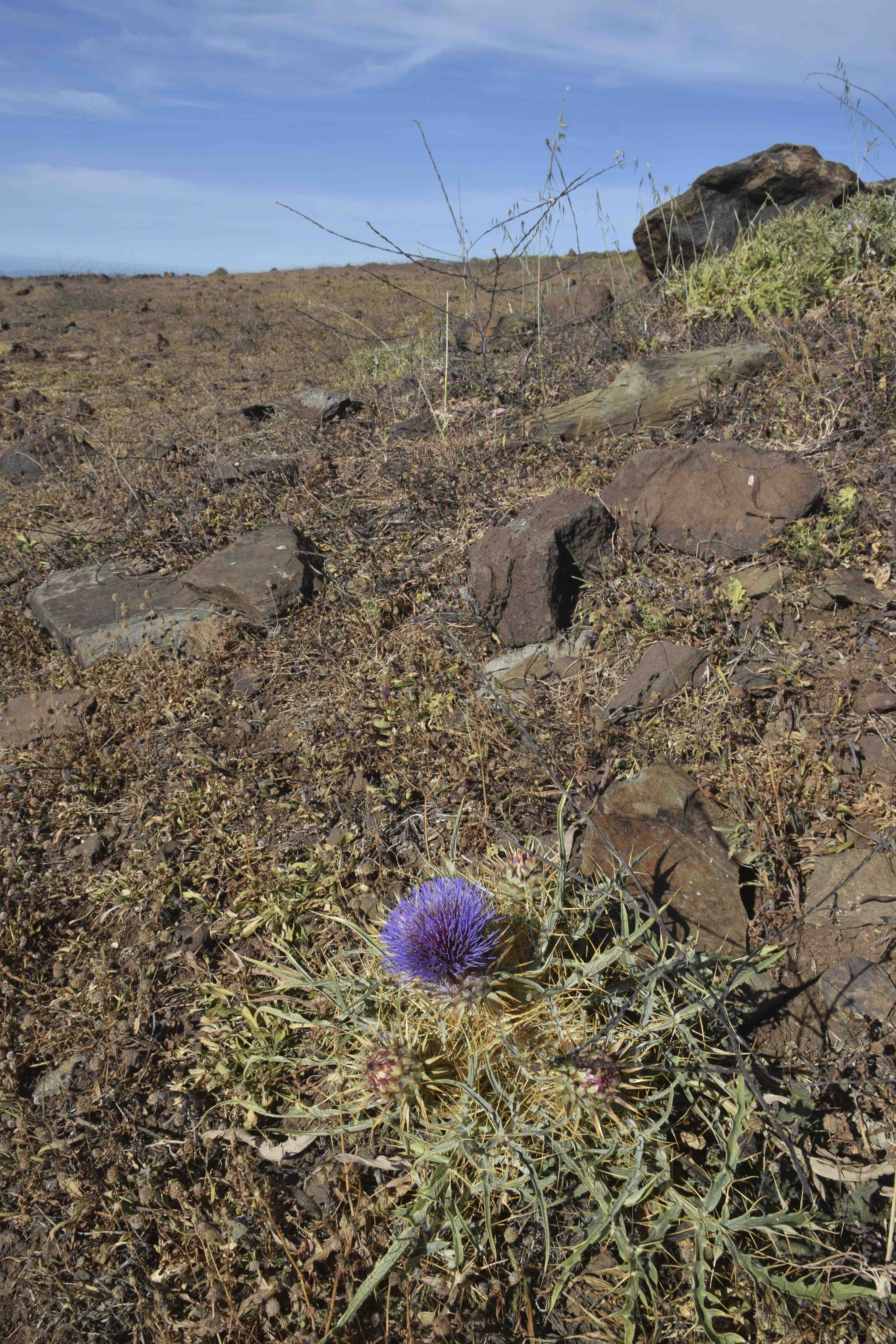
There is no way you would eat this – it is far to spiny – and that makes me worry about calling it any form of C. cardunculus. Maybe someone will be able to verify its name. Anyway cynara can be used as a vegetable rennet to make cheese and I am sure it may have been used in the past for goat’s cheese making or perhaps for making the alcoholic drink Cynar.
It was not the only interesting plant here. Although it was growing elsewhere, this was a very rich area for Salvia canariensis, a shrubby plant with silvery leaves and showy pinkish flowers and bracts.
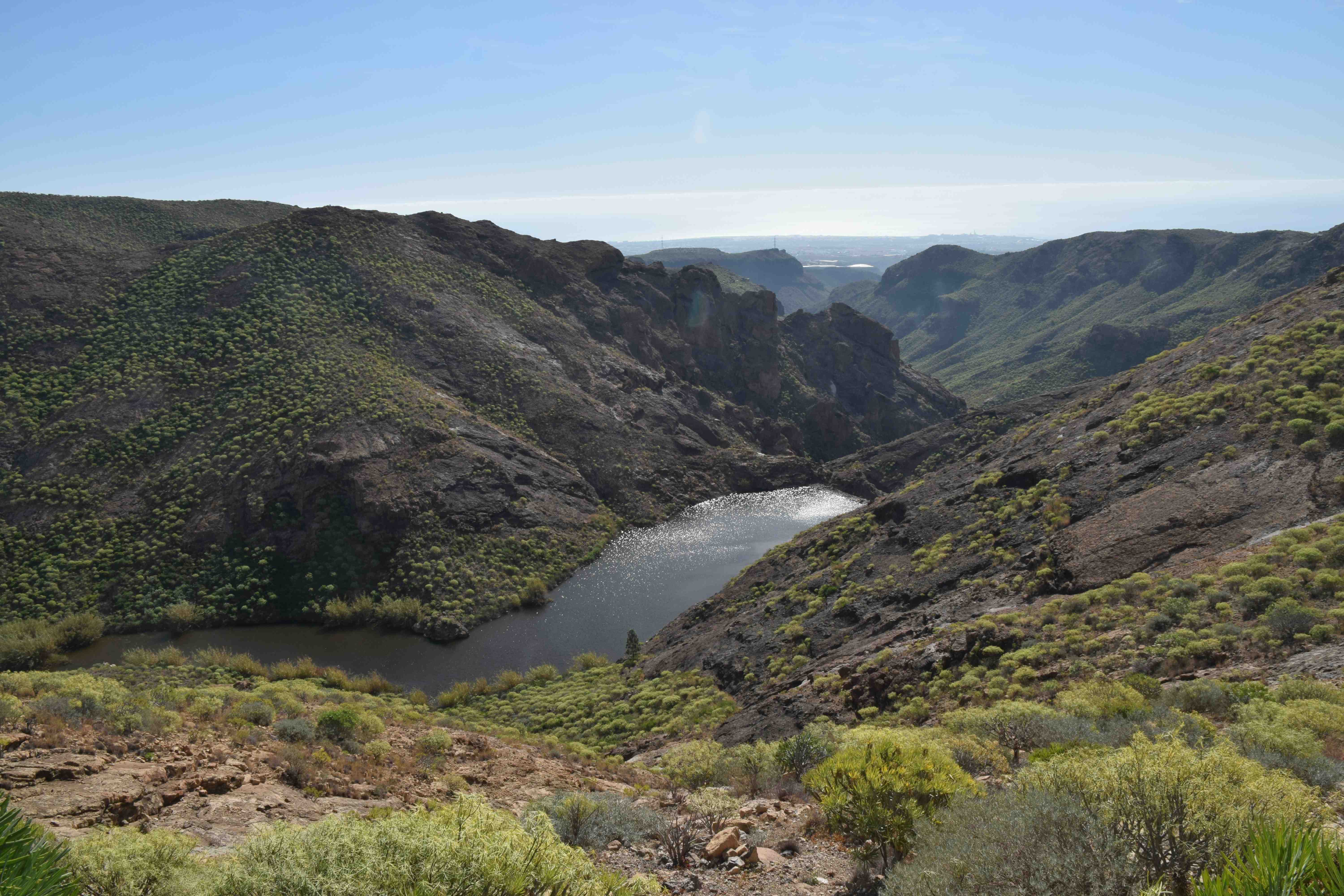
Looking south, there were dramatic views towards the coast, across the Chamoriscan reservoir.
But no sight of the Roque Nublo.
Will I get there?
Stay tuned.
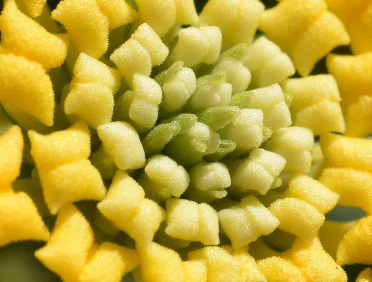
Macro Monday Feb 1 Answer:
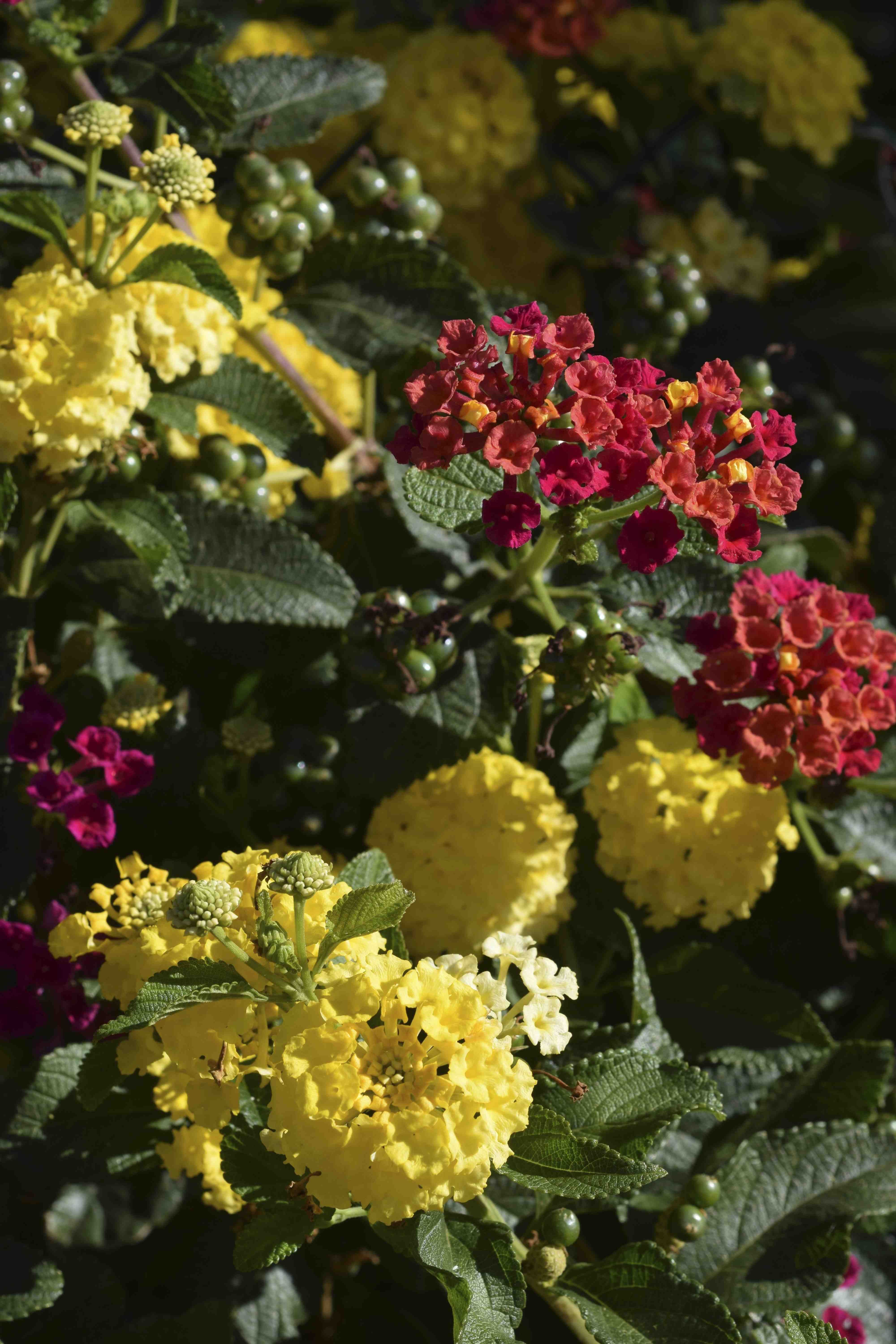
Yes, it was lantana. The pic was of the unopened buds in the centre of a flower cluster.

oh heck all looks very lonely there …… I love the giant cactus
lonely? or lovely? 🙂
lonely as well as lovely not good on my bike